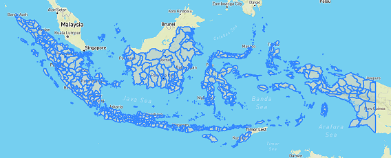
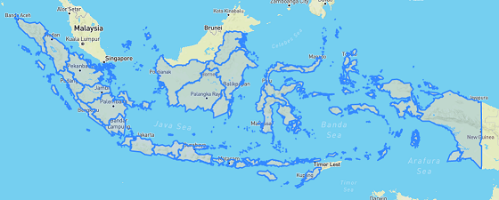
Indonesia Provinces and Cities in GeoJSON
The shapefile (SHP) format is a geospatial vector data format for Geographic Information System (GIS) software, that is arguably the most popular and most used compared to other data formats, such as KML, GML, and GeoJSON. Nevertheless, GeoJSON is preferable and easier to work with for web-based mapping, because it stores the data in JavaScript Object Notation (JSON) format and the web browser already understands JavaScript.
On 25 October 2012, North Kalimantan was formed as the newest and the 34th province of Indonesia. The following data are Indonesia’s geographical territory, including North Kalimantan, which were converted from SHP format and taken from this source:
- Indonesia Provinces [download]
- Indonesia cities and districts [download]